On a number of my posts I have mentioned “going over the continental divide”. This basically means going from the Pacific coast, over the top of the Andes, and down the other side into the jungle.
To get to the continental divide, you have to: a) Drive for 148 km eastwards from Lima. b) Drive and climb upwards for nearly 5 km. Yes, the pass over the continental divide at “Ticlio” is at 4818 metres above sea level. (15,807 feet). During this journey, climate, flora, fauna and even oxygen levels change as you journey along. The following diagram gives an idea of the different natural regions one passes through.
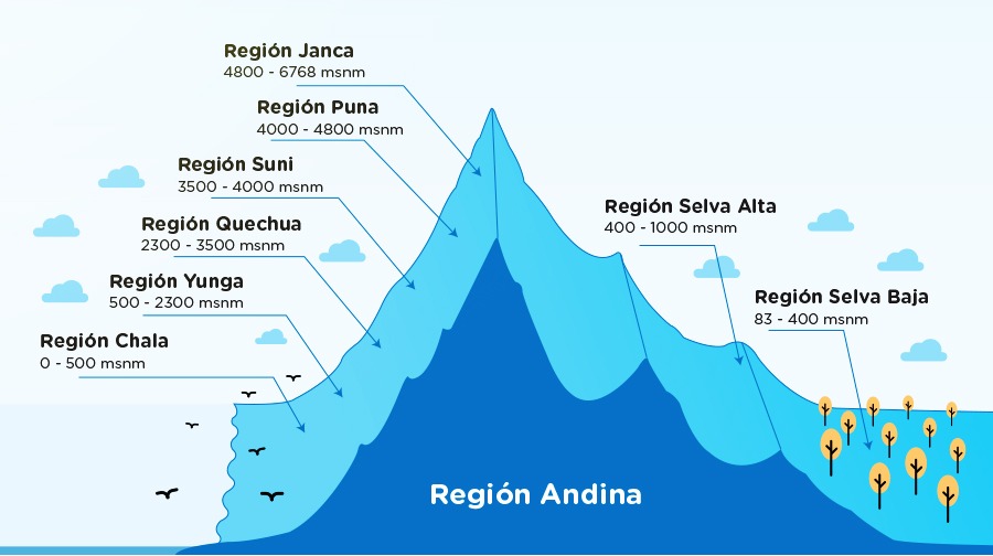
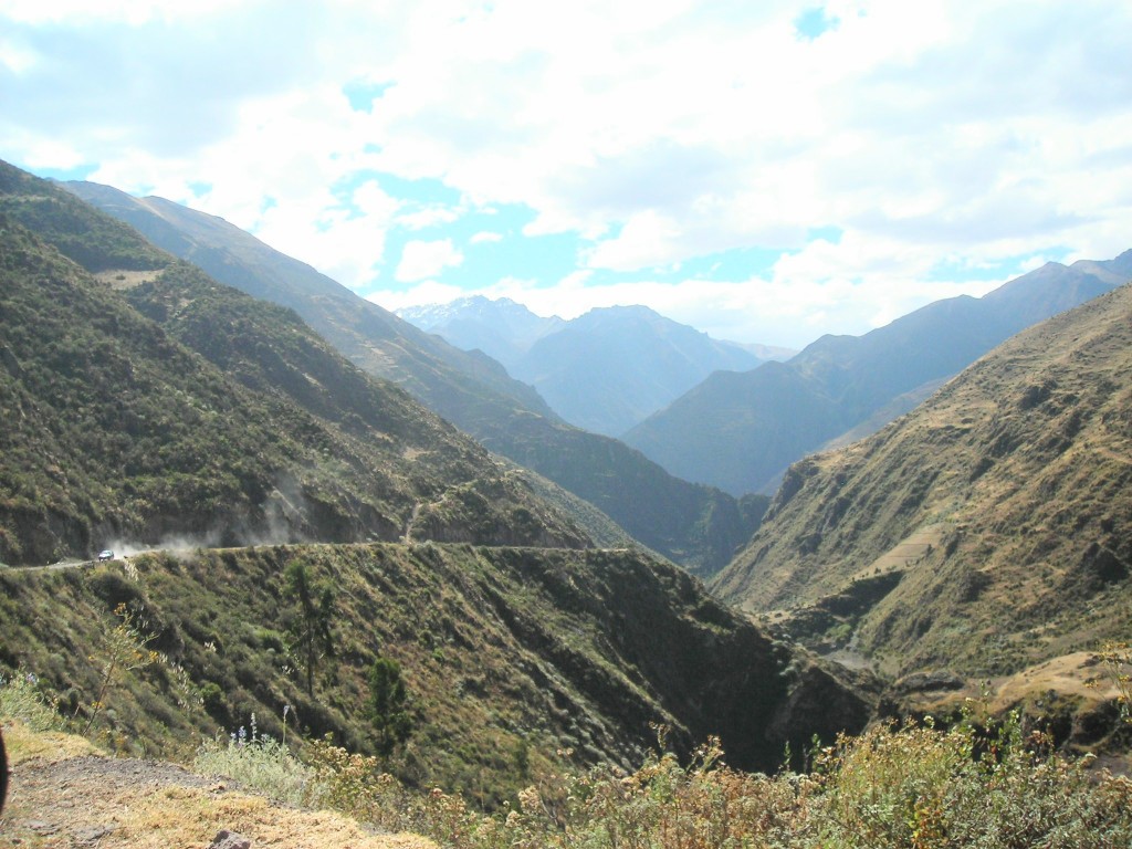
This journey of 320 kilometres goes from Lima ( Chala) through each natural region until arriving at the town of La Merced in the high jungle ( Selva Alta – Rupa Rupa).
It is best to start the journey at the crack of dawn in order to miss the Lima rush-hour morning traffic. The Carraterra Central (Central Highway) makes its way through the sprawl of unplanned urban development and gently begins its gradual climb towards the mountains.


The bare, arid hills surrounding Lima begin to turn greener. Our route takes us up the River Rimac valley towards Chaclacayo and Chosica, both favourite places for Limeños to go on the weekends to relax, escape the city and enjoy some winter sunshine and countryside. Up to here, it all still seems like a familiar, extended part of Lima, still very much ” home territory”
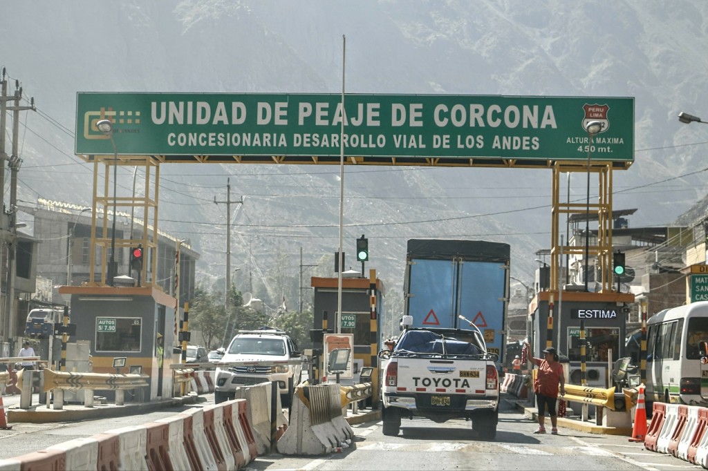
The steady climb continues. At the Corcona toll booths you are already 2264 metres high and 68 km from Lima. This now really feels like a very different world.
The high hills are rugged and green as the road follows the river. Lorry drivers stop here to wash and clean their dusty vehicles as they return to Lima.

At kilometre 112 we skirt around the town of San Mateo, the largest town before the continental divide. We are now at 3150 metres above sea level.


Here, I always stop for a cup of coca tea which helps with the effects of altitude. One begins to feel the effects of having less air at around 3500 metres above sea level However, we still have to climb up to over 4800 metres.

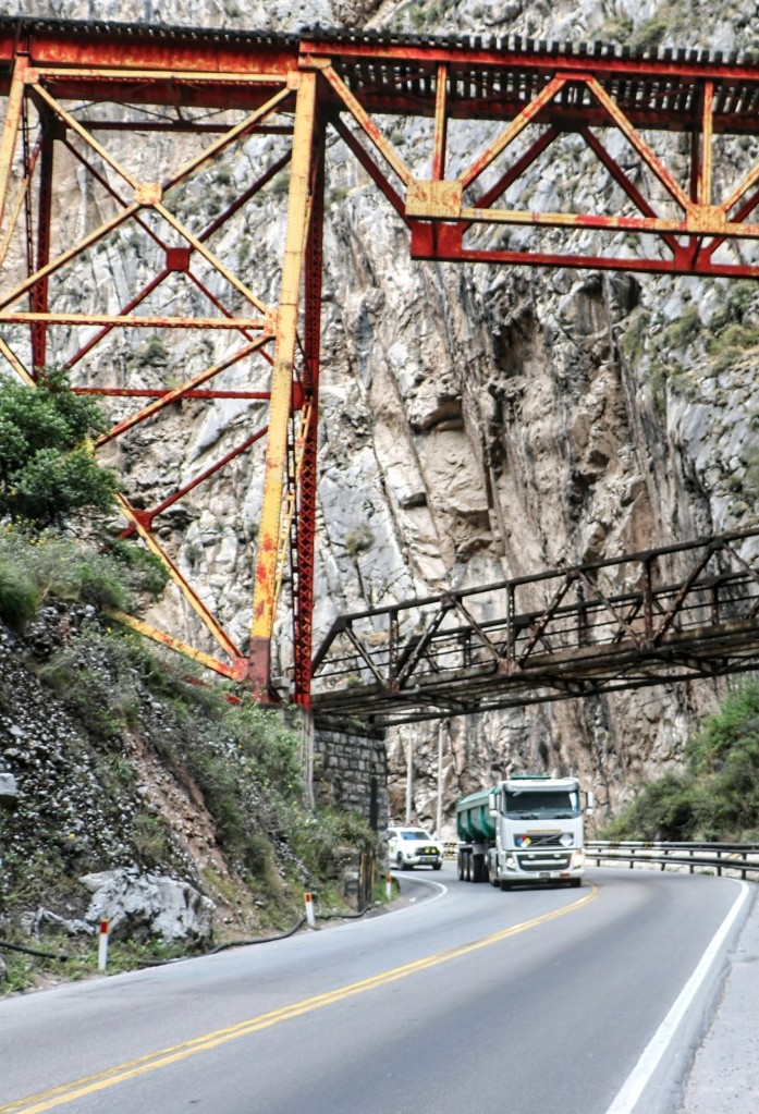
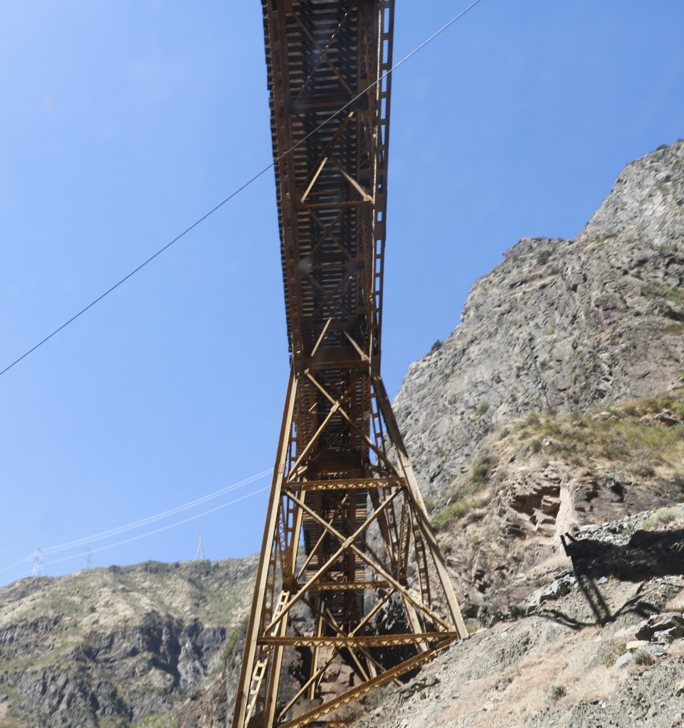
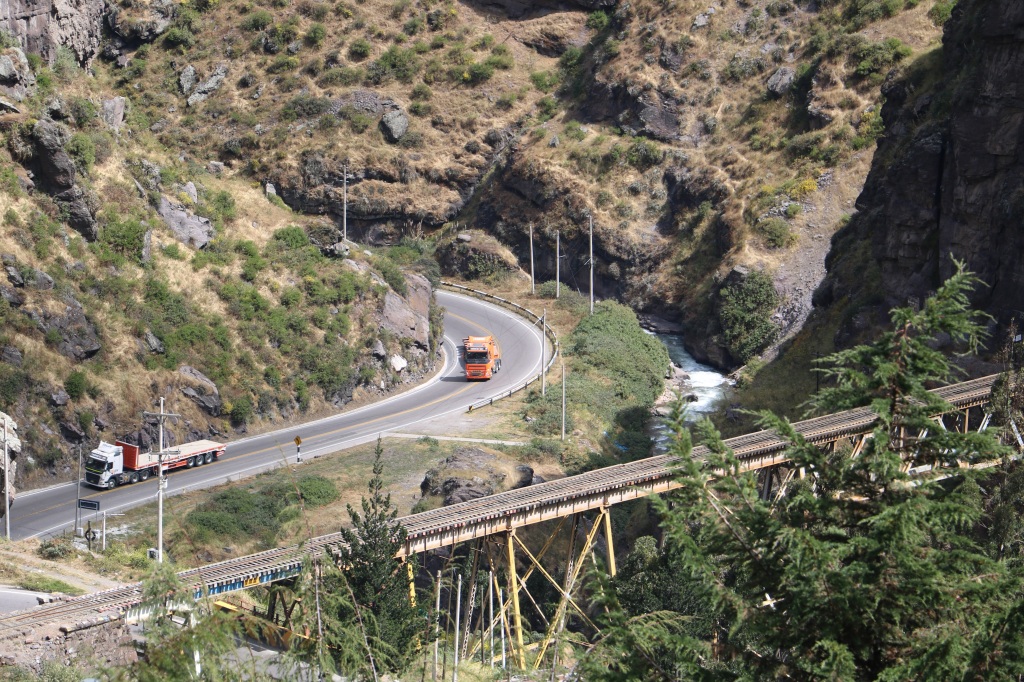
A few kilometres from San Mateo we arrive at Infiernillo, a narrow gorge where the mountains form steep walls on each side of the road which tower above as we negotiate each bend.

We drive under the amazing railway bridges that extend out from tunnels and cross the road. It is amazing to consider that there is a railway going all the way to the top of the continental divide. The train manages to achieve this by climbing through switchbacks where it zigzags backwards and forwards to gain altitude. In other parts of the climb, it simply tunnels its way through the mountains, an incredible feat of engineering.
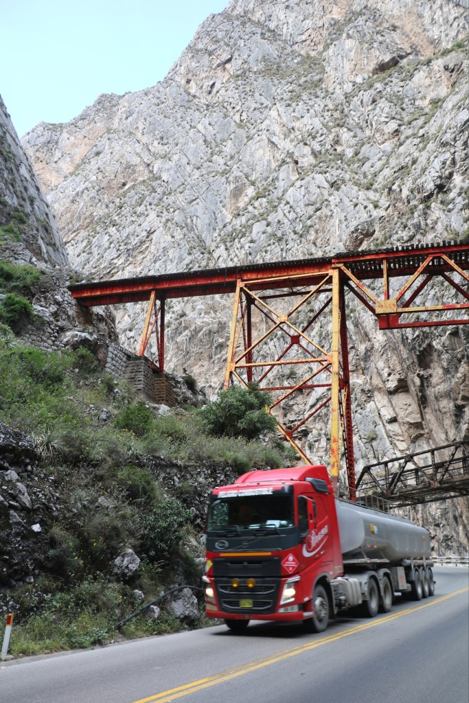
The railway route, Lima to La Oroya opened in 1893 and was built by a British company. The main purpose was to bring the ore from the mines down the mountains to the port of Callao.


After Infiernillo the landscape changes. The car seems so tiny, and insignificant compared to the vast majesty of the surrounding wild hills that command the horizon. The winding road advances, clinging to the side of the mountains and disappearing into numerous tunnels.


We drive through the town of Chicla at 3800 metres above sea level, the last town before the continental divide. At this altitude, we are approaching the tree line. No more trees until we start our descent.

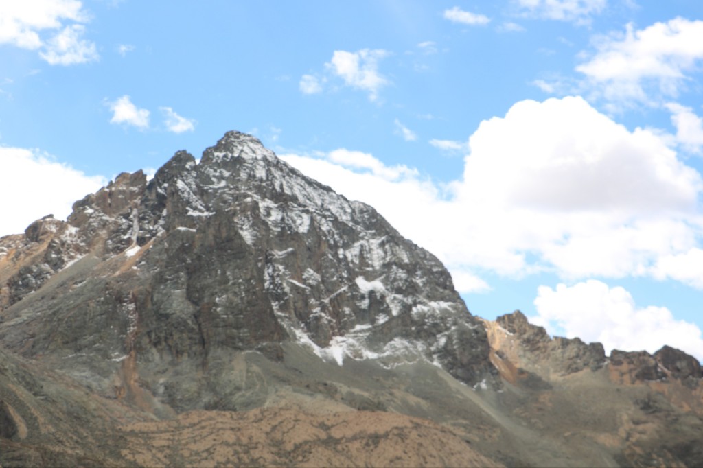
Here the climb really gets going and there are continuous hairpin bends. We can now see the snow-capped peaks in front of us.

On the side of the road at regular distances there are crosses marking the places where vehicles have left the road and fallen hundreds of metres into the chasms below. Unfortunately, every week there are reports in the newspapers of the busses and lorries which have met their end on the carraterra central.

We continue …….. up and up we go…….
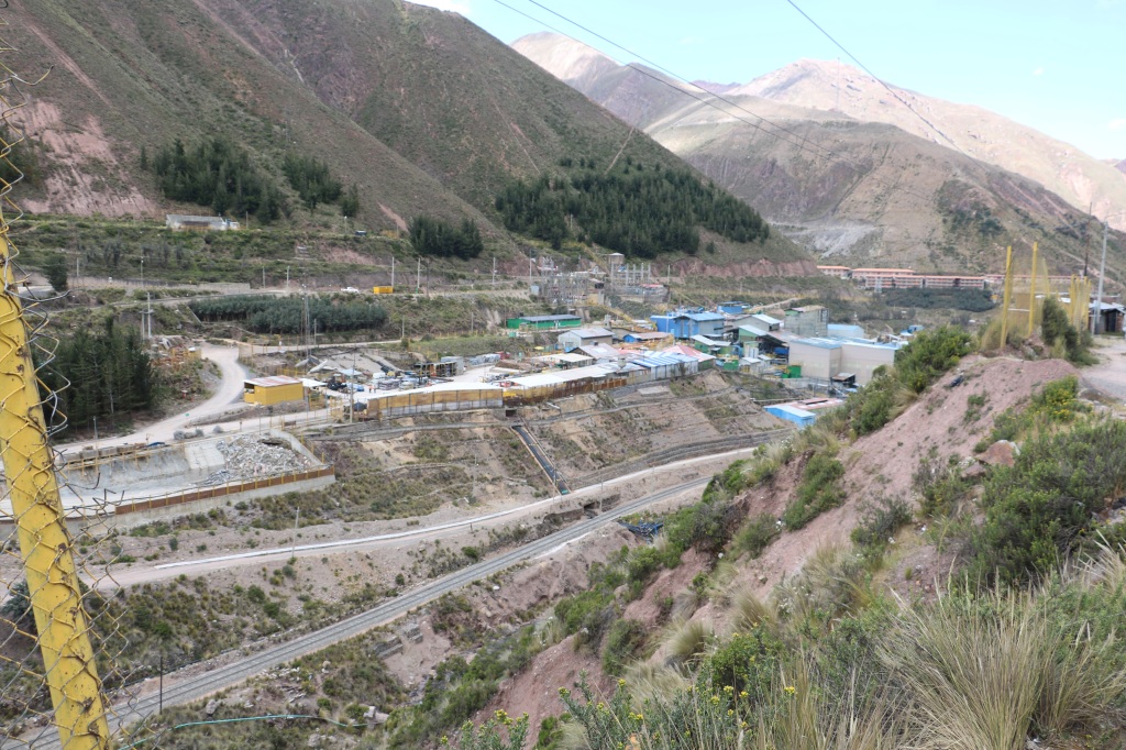
We pass the mine of Casapalca…
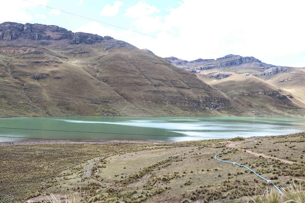
And then, when at last I see this lake, I know that I am not far from the top….Ticlio…. the continental divide.

At last we arrive at Ticlio, the high mountain pass.


When you walk at this altitude, you immediately feel very short of breath and find yourself panting for air. Soroche (mountain sickness) is a common problem, which comes with severe headaches and nausia. When my children were small we would always take a bottle of oxygen for when we passed over the top.
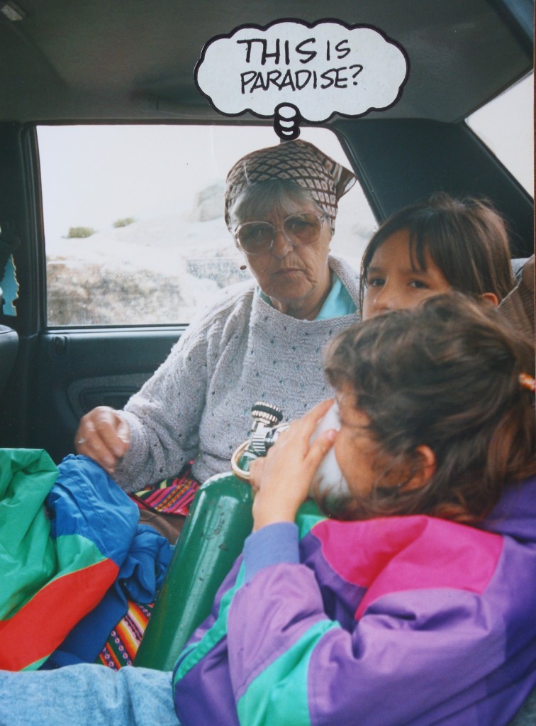
For many years, we took 5th Grade students on a study trip to the jungle from Lima. Climbing to Ticlio was a very busy time. Staff were attent with sick bags in hand as the bus hurled into yet another hairpin bend, while others staggered along the bus, thrown from one side to the other holding the oxygen bottles and masks for needy students. Oh boy, those were the days!

By the side of the road is the railway track, the second highest railway pass in the world. It was the highest but there is a new route in Tibet which beats it by a few metres.

My first trip to Ticlio, over forty years ago was by train. There were no oxygen bottles on the train but a railway employee used to walk up and down the carriages with a large pair of bellows, the type you use to start a fire. If you felt faint, he would blow the air…. puff, puff, puff into your face. Ahhhhhh! Whether this was an effective way of oxygenating the brain, I will leave to the experts.

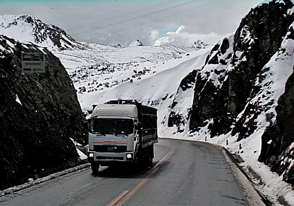
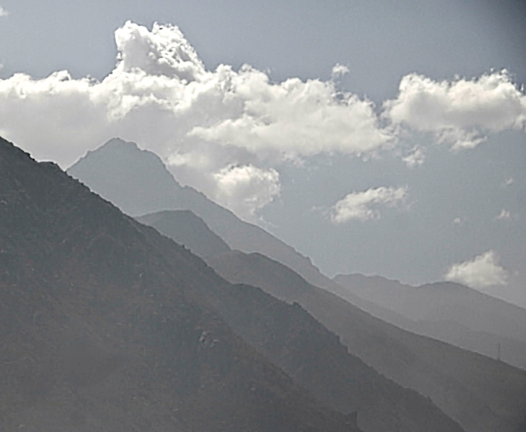
The weather is often a concern when crossing Ticlio. There is always snow to be seen on the surrounding peaks, but weather conditions can change very quickly. A snow storm at Ticlio changes driving conditions enormously as the heavy lorries slide around on the hairpin bends. It is common for a lorry to lose control and crash, thus blocking the road. It can take hours for help to arrive, and meanwhile the long tailback of traffic has to wait in the freezing sub-zero temperatures.

It is always a relief to be going down the other side. The descent at this point is gentle compared to the steep ascent.

On arriving at the mining town of La Oroya we are at 3750 metres above sea level and we maintain that height for a further 40 km. The hills are bare except for sturdy ichu grass which grows well at these high altitudes.

This is the pasture land for the alpacas, llamas and vicuñas who roam these gentle rolling hills.


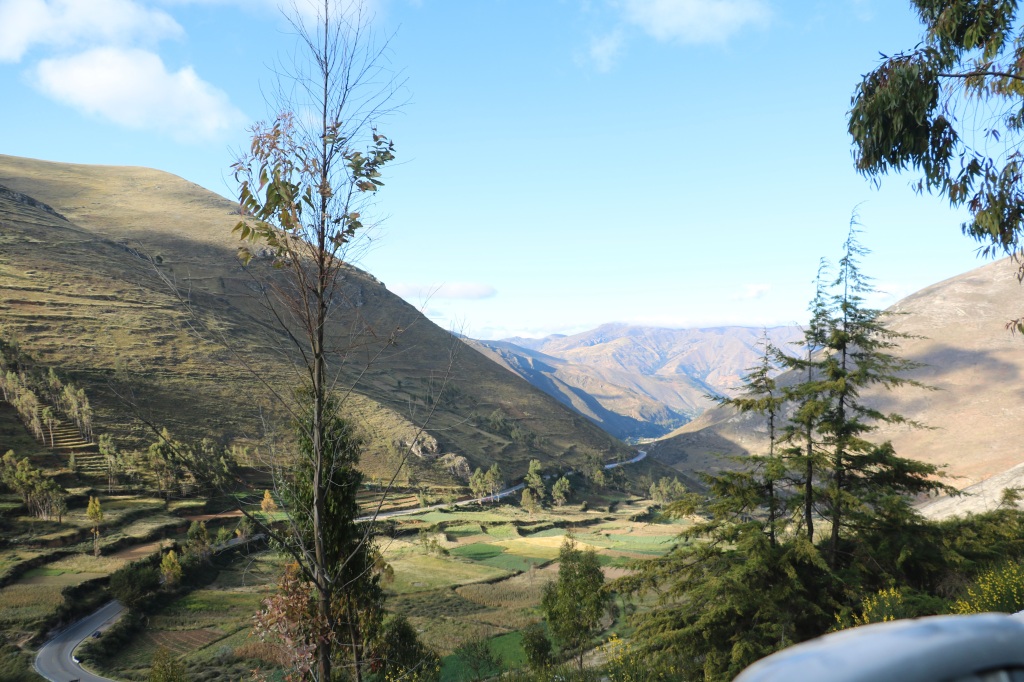
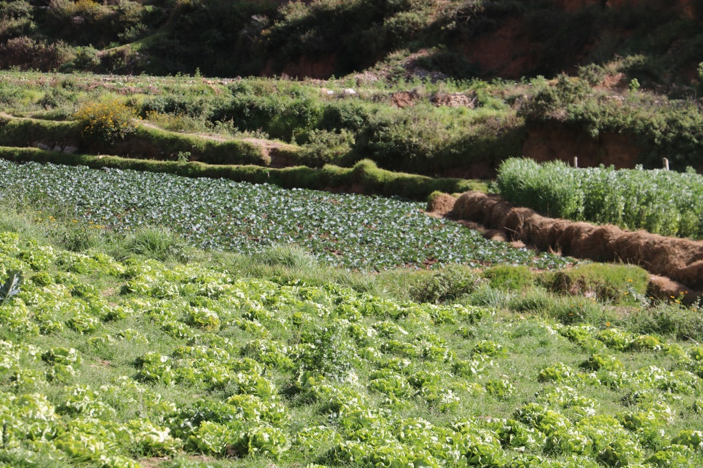
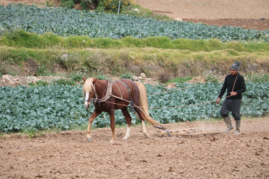
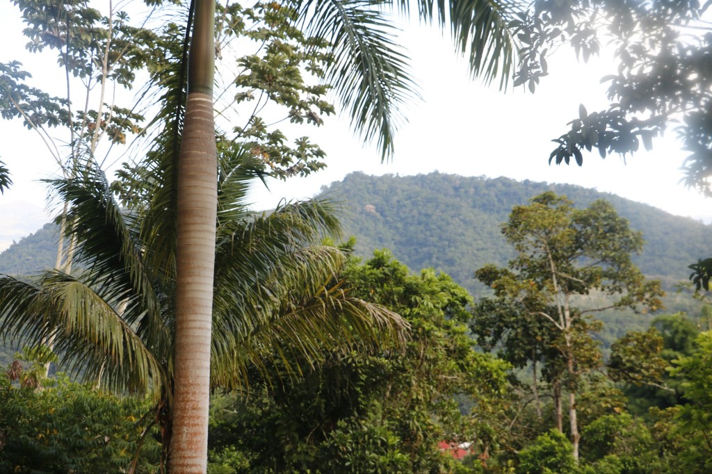
From the “altiplano” we then drop down towards the town of Tarma, know as the “Pearl of the Andes” situated in the “Valley of the Flowers” The bare hills magically disappear and everything turns a lush green, with fields full of crops and the hills adorned with eucalyptus trees.
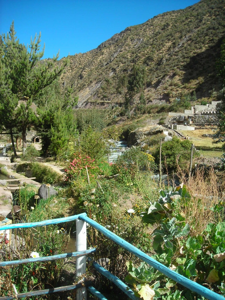


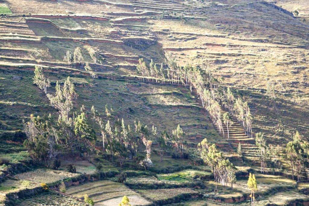

Every day truck-loads of flowers and vegetables are taken from this “garden” down to the central market in Lima.

Tarma is 3050 metres above sea level and we now need to climb a little on our onward drive to Acobamba at 3400 m. La Merced in the jungle, our final destination is at 310 metres above sea level which means a drop of 3000 metres in just 50 km. This….is very…..steep. The ride is just like being on one of those fairground roller coasters, going, down, down and down. During that descent, within a few kilometres the gentle cultivated fields and green hills of the Quechua region of Tarma, transform into the dense jungle forests of the Rupa Rupa.

The climate also changes and it gets hotter with each kilometre that we drive.

We finally arrive at our destination, La Merced. From llamas we now have banana trees, from the bare hills we now have dense jungle.


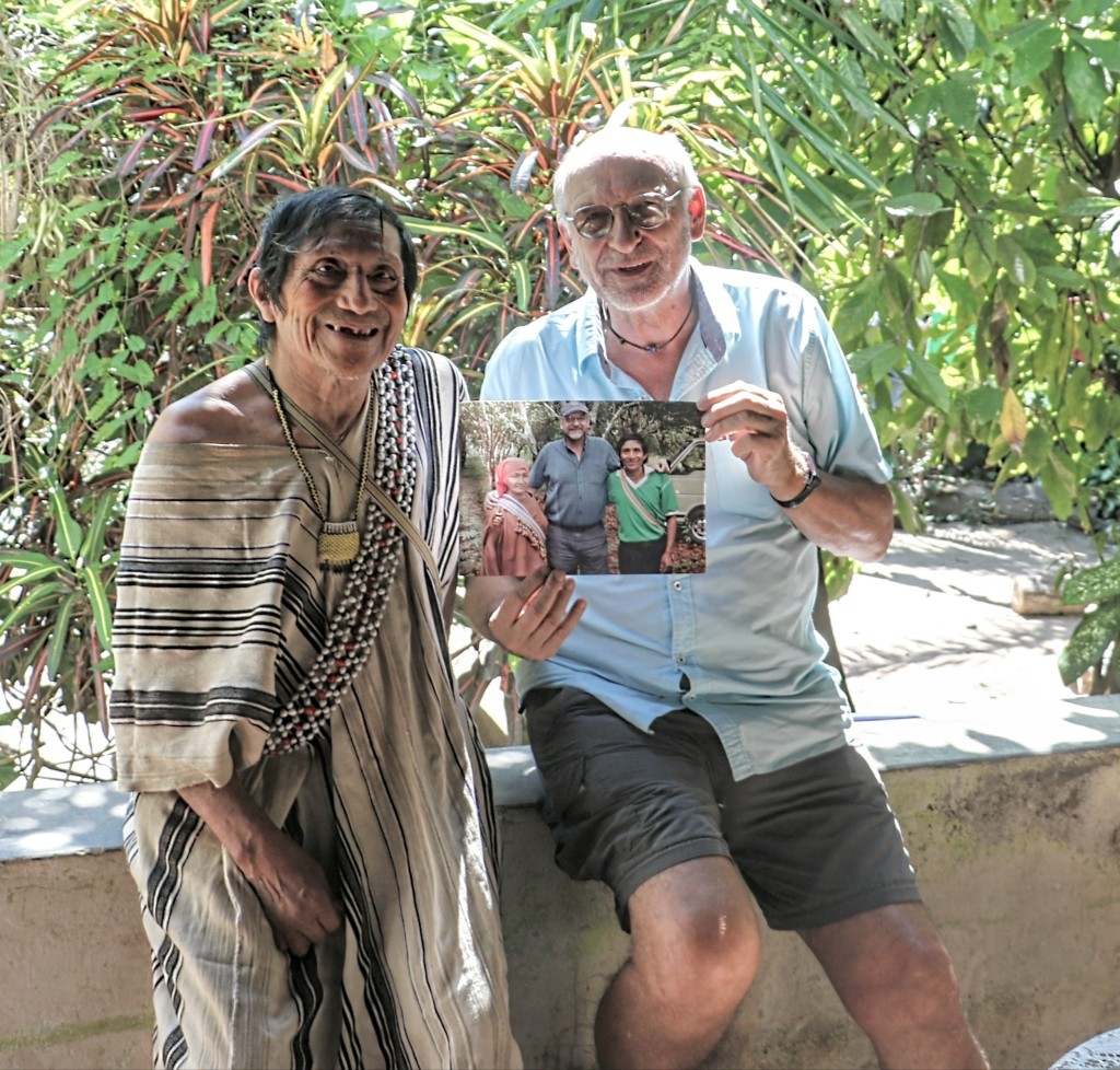
According to Waze it should take six and a half hours to drive from Lima to La Merced. This recent trip ….. took us about eight hours to get to Tarma, where we stayed the night…. and then a couple of hours more dropping down to La Merced. There were lots of stops en route for the idea is not just to arrive, but to fully enjoy the journey too. Lot’s to do……and first of all …..off to visit my friend Martin who I have known for over thirty years!
More stories about Tarma and La Merced coming soon.
Further Links about Peru.
The Coast
The Sierra
The Jungle

Leave a comment